Trail
Peterson Angus Ranch and Beacon Hill Trail
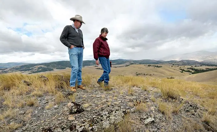
A hiking trail provides seasonal public access to the summit of Beacon Hill where visitors are able to look out over the ranch, the surrounding mountain ranges, and the confluence of Flint Creek and the Clark Fork, far below.
Listed under Hiking trails
About this place
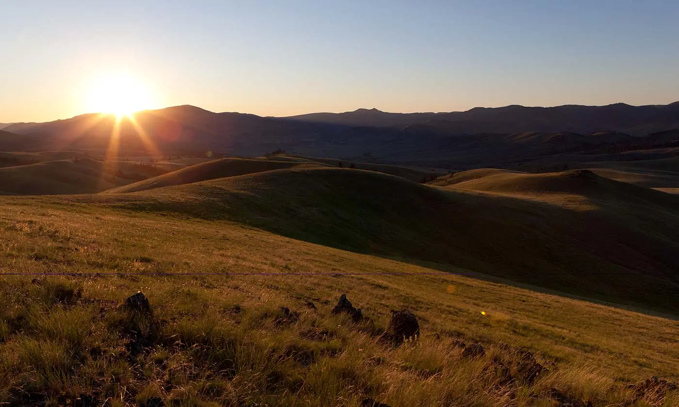
From atop Beacon Hill one can look south along the John Long Mountains to the jagged peaks of the Anaconda Pintler Wilderness. To the north, the eyes meet the rugged ridges of the Garnet Range, where the line of sight follows a prominent ridge leading away to form the Chamberlain Mountain complex at the northernmost prow of the range.
Practical information
- Town
- Other towns
- Arrival
- From Drummond, travel south on Highway 1 for 2.7 miles. Turn right (west) on Mullan Road and travel west for approximately 3.8 miles to a ranch gate on the left (south) side of the road.
- Parking
- There is room to park just inside this gate. There are three interpretive signs at the parking area.
- Route surface
- Note that the Beacon Hill “trail” is actually a route that includes sections of two-track ranch road and some cross-country sections.
- Hours
- A hiking trail provides seasonal public access to the summit of Beacon Hill where visitors are able to look out over the ranch, the surrounding mountain ranges, and the confluence of Flint Creek and the Clark Fork, far below.
- Use rules
- Please respect property boundaries, be mindful of livestock that may be in the area, leave gates as you found them, and be respectful of this beautiful, conserved place.
- Managed by
- Private owner
Activities
- Hiking
Amenities
- Parking