Trailhead · Trail
Saint Patrick Trailhead
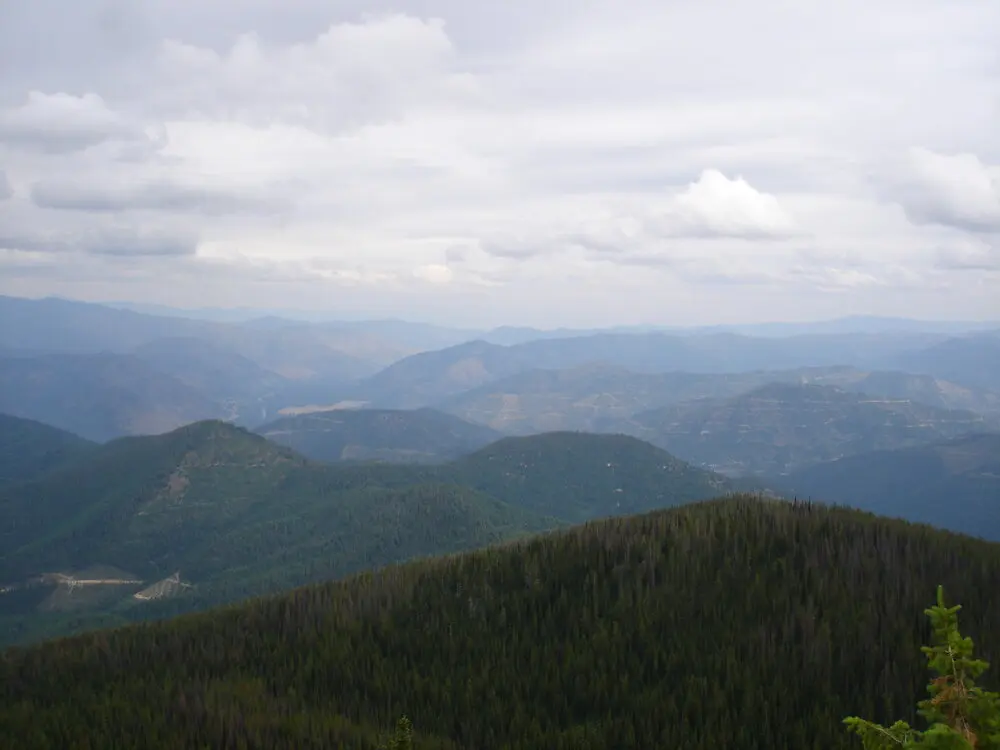
This trailhead is the northernmost access to the Great Burn proposed wilderness on the Ninemile Ranger District. The Saint Patrick Peak Trail #176 heads 5.2 miles into the Great Burn to connect to the North Fork Fish Cr. Trail #103 and the rest of the Great Burn trail network.
Listed under Hiking trails
About this place
Or head up the 1/2 mile spur trail to the summit of Saint Patrick Peak, which splits off the main trail 3 miles from the trailhead.
Practical information
- Town
- Other towns
- Arrival
- From I-90 exit 55, head southwest on the Cyr-Iron Mountain Road #344 towards Quartz. In 5 miles, turn right to stay on Road #344. In 2 miles, turn right on Quartz Creek Road #345. In 3.7 miles, road becomes Upper Quartz Road #7781. In 1.8 miles, slight left onto Road #18161, which ends in 0.2 miles at the trailhead.
- Parking
- The trailhead is small with limited parking. Trailers are not recommended.
- Distance
- 5.2 miles
- Dogs
- Dogs must be under control at all times.
- Use rules
- Please visit the Forest's Alerts page for information on restrictions, in particular please review the Food/Wildlife Attractant Storage Order to help reduce the likelihood of human-to-bear conflicts.
- Managed by
- Federal agency
- Phone
- 406-626-5201
Activities
- Hiking
- Hunting
Amenities
- Parking
Sources
- from fs.usda.gov/r01/lolo/recreation/saint-patrick-trailhead updated
- from mtmemory.org/nodes/view/70786 updated