Trail
Lolo Peak Trail #1311
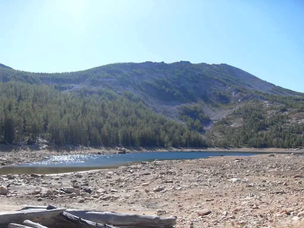
This challenging trail leads to Carlton Ridge. From Carlton Ridge hikers can descend to Carlton Lake where hardier hikers may choose to climb up to the summit of Lolo Peak (9096 feet). Lolo Peak is a distinctive area landmark and offers tremendous views of the Missoula and Bitterroot valleys, and the Bitterroot and Sapphire mountain ranges.
Listed under Hiking trails · Scenic viewpoints
Practical information
- Town
- Lolo
- Arrival
- Take highway 12 from Lolo and travel west about 3 miles to take a left onto Mormon Peak Road #612. The road crosses a cattle-guard which is followed by a forest service sign listing Mormon Peak-9 miles and Lolo Peak trail-8 miles. Follow the dirt road which is in fair condition, but watch for rocks and debris which fall as the snow melts.
- Parking
- You will drive 8 miles until you see a hiking symbol sign. There is a turnout area just ahead on the left located on a sharp bend in the road. Please park far enough off of the road for other cars to get by, but stay off of vegetation as much as possible. Do not block the gate or other roads near the parking area.
- Distance
- 3.6 miles
- Route surface
- Standard/Terra Trail — A trail that has a surface consisting predominantly of the ground and that is designed and managed to accommodate use on that surface.
- Difficulty
- Moderate to difficult, about 10 to 12 percent grade.
- Hours
- Summer/fall
- Use rules
- Closed to all motorized vehicles and mountain bikes.
- Managed by
- Federal agency
- Phone
- 406-329-3814
Activities
- Hiking
- Day hiking
- Backpacking
- Viewing plants
- Viewing scenery
Amenities
- Parking
Sources
- from fs.usda.gov/r01/lolo/recreation/trails/lolo-peak-trail-1311 updated
- from fs.usda.gov/media/245093 updated