Trail
Ravine Creek Trail #34
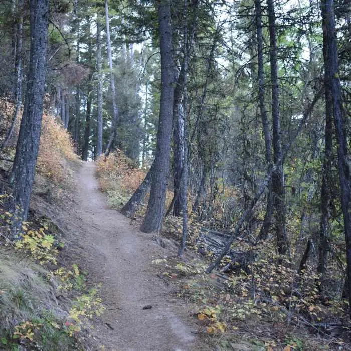
This trail is the quickest way to Stewart Peak. The trail is forested and switchbacks lead up a steep grade and then ties into the Rattlesnake National Recreation Area trail system.
Listed under Hiking trails · Bike trails
Practical information
- Town
- Missoula
- Arrival
- From Interstate 90 in Missoula, take exit #101 and head north on Grant Creek Road for about 5 miles. About 1 mile past the turn for Snowbowl Ski Area, you will see hiking signs for the trailhead. Just past the first sign on the right is a small parking area. This is Ravine Gulch trailhead.
- Parking
- Just past the first sign on the right is a small parking area.
- Route surface
- Standard/Terra Trail — A trail that has a surface consisting predominantly of the ground and that is designed and managed to accommodate use on that surface.
- Difficulty
- Switchbacks lead up a steep grade
- Use rules
- Please visit the Forest's Alerts page for information on restrictions, in particular please review the Food/Wildlife Attractant Storage Order to help reduce the likelihood of human-to-bear conflicts.
- Managed by
- Federal agency
- Phone
- 406-329-3814
Activities
- Biking
- Mountain biking
- Hiking
- Day hikes
Amenities
- Parking
Sources
- from fs.usda.gov/r01/lolo/recreation/missoula-area updated
- from fs.usda.gov/r01/lolo/recreation/trails/ravine-creek-trail-34 updated