Trail
Iron Mountain Trail
The Iron Mountain Trail #242 follows a wagon road built in 1887 as a route to haul silver ore from the Iron Mountain mine in the Flat Creek drainage to the Clark Fork River adjacent to Cascade Campground. An interpretive sign near the campground discusses the historical significance of this trail route.
Listed under Picnic spots · Hiking trails · Bike trails · Horseback riding trails · Scenic viewpoints
About this place
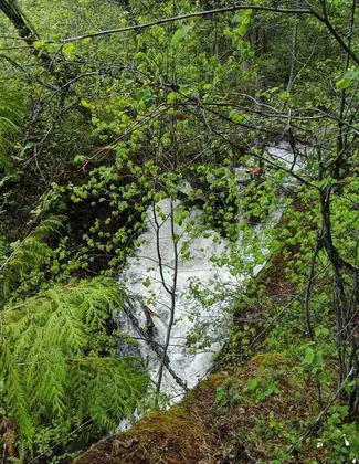
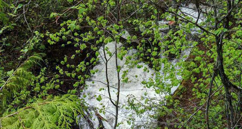
There are two overlook sites within the first 1.4 miles of trail between the campground and the scenic overlook at the top of Cascade Creek Falls (spring only). For the most part, the trail profile is wider than average and the trail grade generally ranges from 6 to 12 percent with occasional short steep pitches of 16 to 20 percent.
Practical information
- Town
- Other towns
- Arrival
- The trailhead is located in Cascade Campground on Montana Highway 135 between St. Regis, Montana, and the junction of Highway 135 and Highway 200. (The campground is approximately 7.5 miles south of Paradise, Montana, and 5 miles south of the junctions of Highways 135 and 200.)
- Parking
- Large parking lot for large trailers.
- Route surface
- Predominantly the ground
- Difficulty
- For the most part, the trail profile is wider than average and the trail grade generally ranges from 6 to 12 percent with occasional short steep pitches of 16 to 20 percent.
- Hours
- Spring/summer/fall
- Use rules
- Please visit the Forest's Alerts page for information on restrictions, in particular please review the Food/Wildlife Attractant Storage Order to help reduce the likelihood of human-to-bear conflicts.
- Managed by
- Federal agency
- Phone
- 406-826-3821
Activities
- Day hikes
- Mountain biking
- Horseback riding
- Viewing scenery
- Picnicking
- Horse/pack animals
Amenities
- Parking
- Water