Horseback riding trails near Missoula

42 places near Missoula.

Where
Missoula area 10Day trips 31listed for 41 of 42
Has
Restroom 18Shade 1Water 5Paved path 4listed for 35 of 42
Entry
7 free10 with a feelisted for 17 of 42

Big Sky Horse Park in Missoula has a sand exercise track and a 1.7-mile perimeter trail on 90 acres. In the Rattlesnake, the Rattlesnake Horse Trail #517A starts at a trailhead with accessible parking and an accessible restroom. Horse campers can use Rock Creek Horse Camp at Lake Como or Clearwater Crossing Campground, which has stock facilities and public corrals.

Missoula area 10

PlaceTypeHasEntry
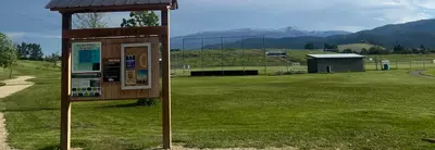
Signs at Big Sky Park with the baseball field in the backgroundBig Sky Horse Park3500 North Avenue W., Missoula · From bigskyhorsepark.org, checked Oct 1Park, TrailRestroomFee
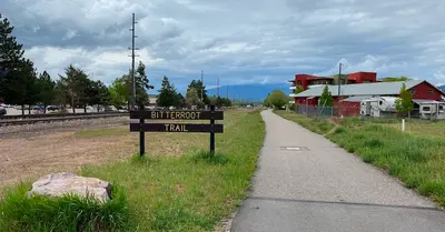
A view of a trail with a sign reading Bitterroot Trail.Bitterroot TrailMissoula · From bitterroottrail.com, checked Sep 27TrailRestroom, Water, Paved path–
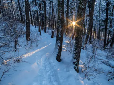
Hiking trail in snowBluebird Preserve5650 Grant Creek Rd, Missoula · From ci.missoula.mt.us, checked Sep 30Recreation area, Trailhead––
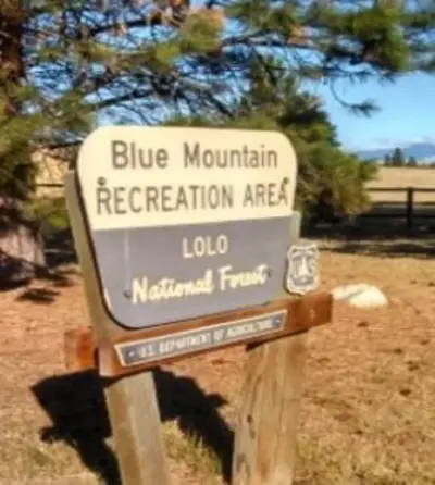
attachment-Sign - Blue Mountain Recreation Area – courtesy USFSBlue Mountain Recreation Area24 Fort Missoula Road, Missoula · From fs.usda.gov, checked Sep 30Recreation area, TrailRestroom–
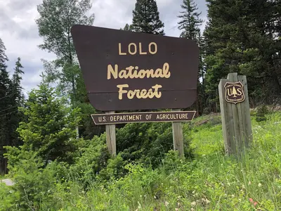
File:Welcome to the Lolo National Forest (48205722722).jpgLolo National Forest Recreation24 Fort Missoula Road Missoula, Missoula · From fs.usda.gov, checked Oct 1Recreation area––
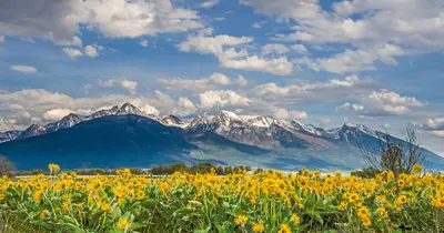
A field of yellow wildflowers blooms in front of a majestic snow-capped mountain range under a cloudy blue sky.Mount Dean StoneMissoula · From fvlt.org, checked Oct 1Recreation area, Trail––
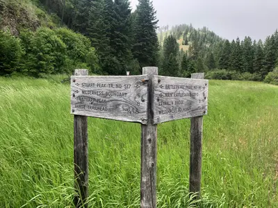
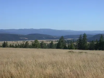
A wooden trail signpost stands in a grassy field with forested hills in the background.Rattlesnake Horse Trail #517A (Stuart Peak)Missoula · From fs.usda.gov, checked Sep 30Trailhead, Trail––
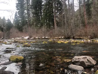
A river flows through a forest scene with mossy rocks and a small amount of snow on the bank.Rattlesnake Main Trail #515Missoula · From fs.usda.gov, checked Sep 28Trail, Recreation areaRestroom–
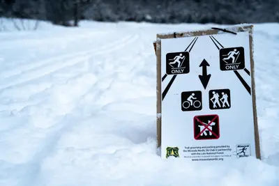
Image of the Nordic Ski Trails at the Rattlesnake National Recreation Area.Rattlesnake National Recreation Area & WildernessMissoula · From fs.usda.gov, checked Sep 30Recreation area––
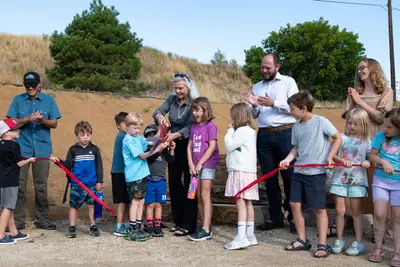
A group of children and adults participate in a ceremonial ribbon-cutting event outdoors.Waterworks Hill TrailheadMissoula · From ci.missoula.mt.us, checked Oct 1Trailhead, TrailRestroomFree

Day trips 31
PlaceTypeHasEntry
Albert CreekAlbert TrailheadDay trip · 6 miles · From fs.usda.gov, checked Oct 1Trailhead, Trail––
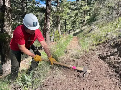
A volunteer trail crew member digs into the side of a dirt trail in a forest.Babcock Mountain Trail #10Day trip · 2.5 miles · From fs.usda.gov, checked Sep 30Trail––
View of the Stevensville Ranger District office from the outside.Bass Creek Trail #4 and TrailheadDay trip · 8.6 miles · From fs.usda.gov, checked Sep 30Trail, Trailhead–Free
Blackfoot-ClearwaterBlackfoot-ClearwaterDay trip · From myfwp.mt.gov, checked Sep 30Recreation area––
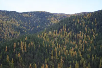
A dense forest covers rolling mountains with a mix of evergreen and deciduous trees.Burdette Creek TrailDay trip · 5 miles · From fs.usda.gov, checked Sep 29Trail, Trailhead––
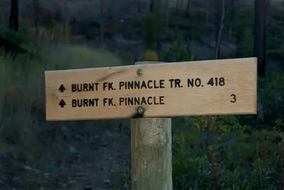
Trail head for Burnt Fork PinnacleBurnt Fork TrailheadDay trip · 3 miles · From fs.usda.gov, checked Sep 29Trailhead––
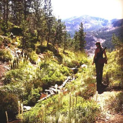
A person with a backpack stands on a trail in a mountain forest.Cache Creek TrailheadDay trip · 7 miles · From fs.usda.gov, checked Sep 29Trailhead––
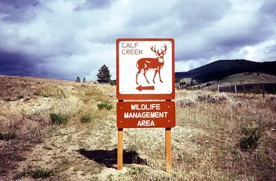
Calf CreekCalf CreekDay trip · From myfwp.mt.gov, checked Sep 30Recreation area––
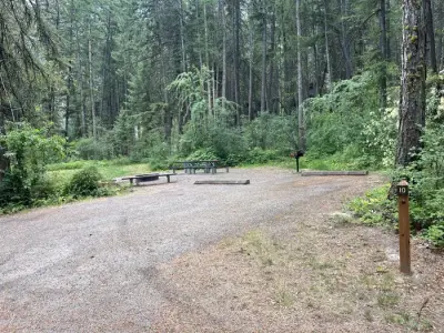
Cascade Campground 3Group site 10Cascade CampgroundDay trip · From recreation.gov, checked Sep 30CampgroundRestroom, Water, Paved pathFee
C. Ben White Memorial Fishing Access SiteDay trip · From myfwp.mt.gov, checked Oct 1River access–Free
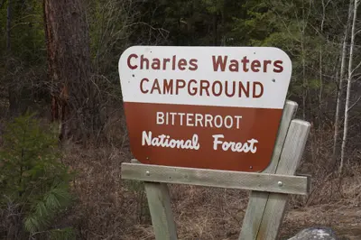
A sign for a campground stands in a forest.Charles Waters CampgroundDay trip · From fs.usda.gov, checked Sep 30CampgroundRestroom, Water, Paved pathFee
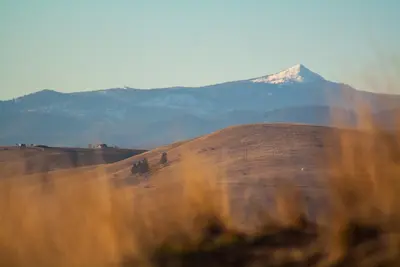
A mountain peak with snow sits behind rolling brown hills at sunset.Ch-Paa-Qn Peak TrailheadDay trip · 3 miles · From fs.usda.gov, checked Sep 29Trailhead––
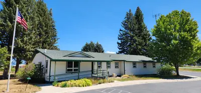
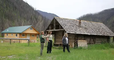
Three women stand in a field in front of two cabins with a mountain background showing signs of a fire.Clearwater Crossing CampgroundDay trip · From fs.usda.gov, checked Sep 30CampgroundRestroomFree
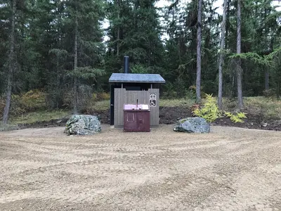
An outdoor vault toilet is situated in a clearing surrounded by a pine forest.Ferry Landing Picnic AreaDay trip · From fs.usda.gov, checked Sep 29Recreation area, River accessRestroomFree
Alt text placeholderFish Creek State ParkDay trip · From fwp.mt.gov, checked Sep 30Park–Fee
Fish CreekFish Creek Wildlife Management AreaDay trip · From myfwp.mt.gov, checked Sep 27Recreation area–Fee
Tera on the trail. Photo by Phoebe Fortunate.Iron Mountain TrailDay trip · From fs.usda.gov, checked Sep 30TrailWater–
Josephine TrailheadDay trip · 6.5 miles · From fs.usda.gov, checked Sep 30Trailhead––
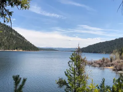
view of lake and treesLake Como Recreation Area — Forest Service place listDay trip · From fs.usda.gov, checked Sep 30Recreation areaRestroomFee
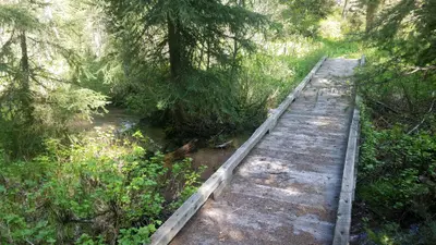
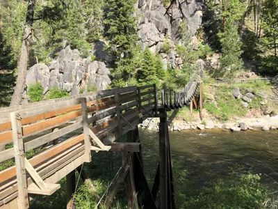
Photo of the Welcome Creek foot bridge in the Rock Creek area, Montana.Lolo National ForestDay trip · From fs.usda.gov, checked Oct 1Recreation area, Campground–Free
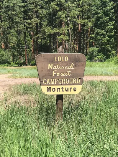
A wooden sign for a national forest campground stands in a grassy field in front of a forest.Monture Creek CampgroundDay trip · From fs.usda.gov, checked Sep 30CampgroundRestroomFree
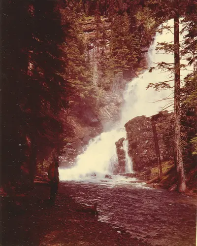
A lone person stands on the bank of a river in front of a tall waterfall in a forest.Morrell Falls National Recreation Trail #30Day trip · 5.4 miles · From fs.usda.gov, checked Oct 1TrailRestroom–
Petty Pasture TrailheadDay trip · 3 miles · From fs.usda.gov, checked Sep 30Trailhead––
Ch-Paa-Qn Peak HikeReservation Divide TrailheadDay trip · 3 miles · From fs.usda.gov, checked Sep 29Trailhead––
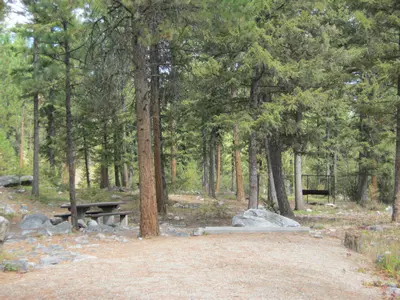
Rock Creek Horse CampRock Creek Horse CampDay trip · From fs.usda.gov, checked Sep 30CampgroundRestroomFee
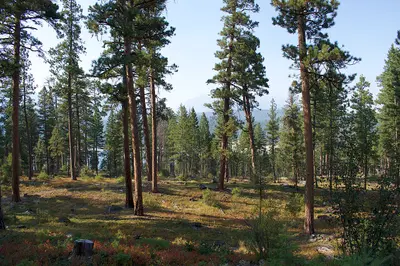
Tall pine trees grow in a forest with a sunlit clearing in the foreground.Rock Creek TrailheadDay trip · From fs.usda.gov, checked Sep 30TrailheadRestroomFee
Siegel PassSiegel Pass TrailheadDay trip · 12 miles · From fs.usda.gov, checked Sep 30Trailhead––
Location of Campsites.Sloway CampgroundDay trip · From fs.usda.gov, checked Sep 30Campground, River accessRestroom, Shade, Water, Paved pathFee
Bighorn Sheep Viewing Area, Montana photoSpring Creek Sheep Viewing SiteDay trip · From fs.usda.gov, checked Sep 30Trailhead, TrailRestroom–
ThreemileThreemile Wildlife Management AreaDay trip · From myfwp.mt.gov, checked Sep 30Recreation area, TrailRestroomFee
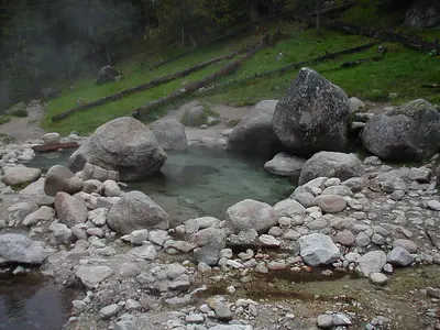
One of the best hot pools at Jerry JohnsonWarm Springs Trailhead / Jerry Johnson Hot Springs accessDay trip · From fs.usda.gov, checked Sep 30Trailhead––

Town not listed 1

PlaceTypeHasEntry
Clearwater Crossing CampgroundClearwater Crossing TrailheadFrom fs.usda.gov, checked Sep 30TrailheadRestroom–