River access · Campground · Boat ramp · Trail
Lower Blackfoot River Corridor
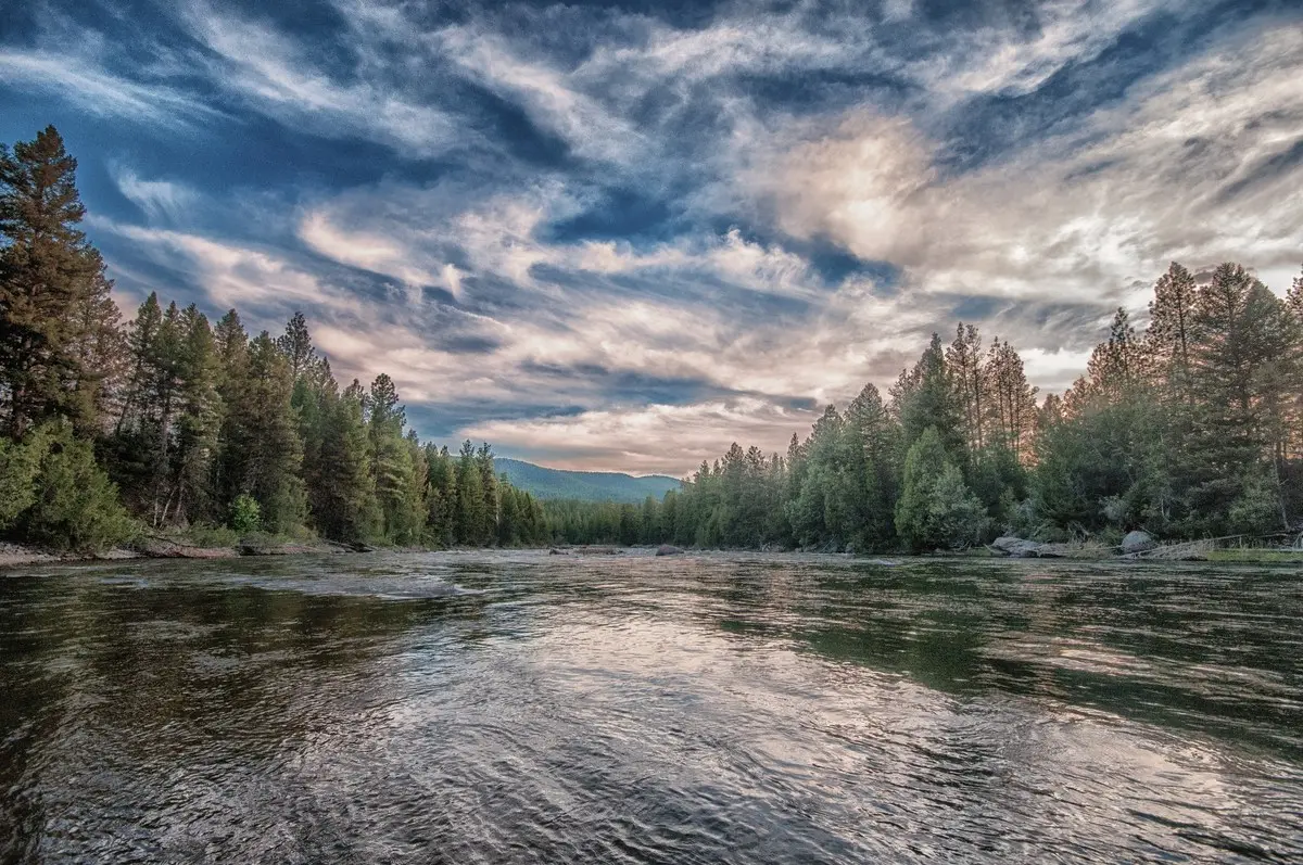
Twelve miles of the Lower Blackfoot River flow through public lands only 20 minutes east of Missoula. During the heat of the summer, the Lower Blackfoot River Corridor is an excellent place to cool off alongside a large portion of the Missoula population.
Listed under Picnic spots · Hiking trails · Bike trails · River access & fishing · Boating & floating · Campgrounds · Wildlife & bird watching
About this place
Crowds disappear during the other nine months of the year, and the Lower Blackfoot river Corridor becomes a great place for fishing, whitewater boating, and wildlife viewing.
Practical information
- Town
- Bonner
- Arrival
- Access the Blackfoot River Recreation Corridor twelve miles east of Bonner on Highway 200. A dirt road (not suitable for RVs) follows the river for twenty miles, reconnecting with Highway 200 near Mile Marker 28, six miles east of the junction with Highway 83.
- Fees
- No Fees.
- Managed by
- Federal agency
- Phone
- 1 (406) 329-3914
Activities
- Fishing
- Whitewater boating
- Wildlife viewing
- Biking
- Boating
- Camping
- Hiking
- Picnicking
- Day use
- Paddle boating
Amenities
- Restroom
Sources
- from missoulacurrent.com/pandemic-blackfoot-river updated
- from blm.gov/visit/lower-blackfoot-river-corridor updated