Recreation areas near Missoula

41 places near Missoula.

Where
Missoula area 15Day trips 26
Has
Playground 1Restroom 17Shade 1Water 6Paved path 3listed for 31 of 41
Entry
8 free10 with a feelisted for 18 of 41

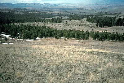
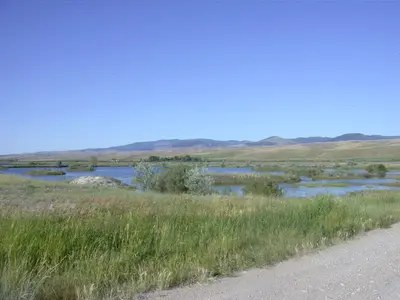
Pattee Canyon Recreation Area and Blue Mountain Recreation Area sit on the edges of Missoula with long trail networks, and Pattee Canyon's trails are open year-round to non-motorized use. Open space on Mount Jumbo conserves elk winter range and travel corridors. State wildlife management areas farther out are managed mainly as winter range for big game.

Missoula area 15

PlaceTypeHasEntry
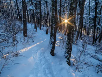
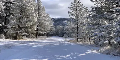
Hiking trail in snowBluebird Preserve5650 Grant Creek Rd, Missoula · From ci.missoula.mt.us, checked Sep 30Trailhead, Trail––
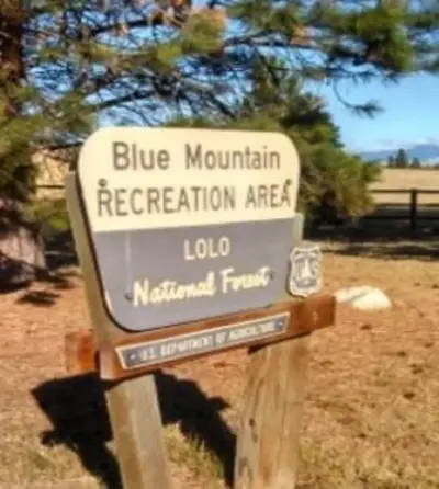
attachment-Sign - Blue Mountain Recreation Area – courtesy USFSBlue Mountain Recreation Area24 Fort Missoula Road, Missoula · From fs.usda.gov, checked Sep 30TrailRestroom–
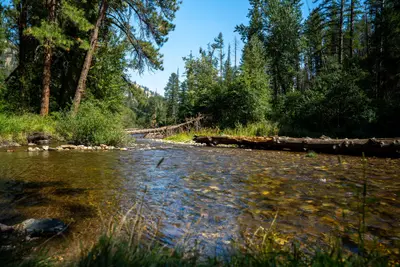
Image of Lolo Creek near Fort Fizzle on the Lolo National Forest.Fort Fizzle Historic Site Picnic Area24 Fort Missoula Road, Lolo · From fs.usda.gov, checked Sep 30–RestroomFree
File:Welcome to the Lolo National Forest (48205722722).jpgLolo National Forest Recreation24 Fort Missoula Road Missoula, Missoula · From fs.usda.gov, checked Oct 1–––
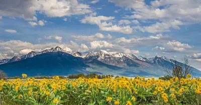
A field of yellow wildflowers blooms in front of a majestic snow-capped mountain range under a cloudy blue sky.Mount Dean StoneMissoula · From fvlt.org, checked Oct 1Trail, Trailhead––
North Hills from Mount Jumbo stock photoMount JumboMissoula · From ci.missoula.mt.us, checked Sep 30Trail–Free
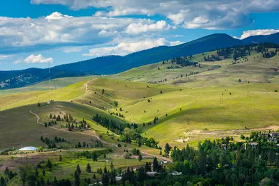
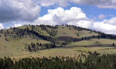
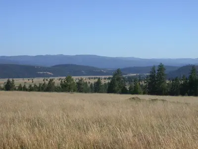
A rolling grassy hillside dotted with evergreen trees under a cloudy sky.Mount SentinelMissoula · From ci.missoula.mt.us, checked Oct 1Trail––
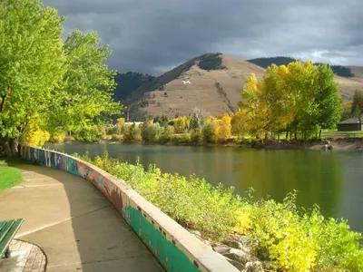
Riverfront Trail-credit Kelly FrickNorth HillsMissoula · From fvlt.org, checked Sep 28Trail–Free
Cross country skiing at Pattee CanyonPattee Canyon delegated Nordic Pulse grooming reportMissoula · From nordic-pulse.com, checked Sep 30Trail–Free
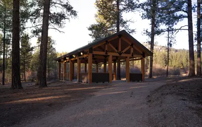
Image of the Pattee Canyon Pavillion and Picnic Area, Lolo National Forest, Montana.Pattee Canyon Group Picnic Area24 FORT MISSOULA ROAD, Missoula · From recreation.gov, checked Sep 30–Restroom, Shade, Paved pathFee
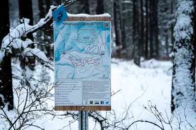
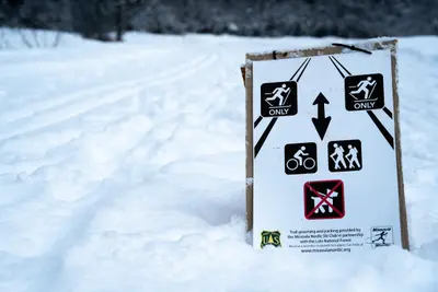
Image of the Nordic Ski Trails map sign at the Pattee Canyon Recreation Area.Pattee Canyon Recreation AreaMissoula · From fs.usda.gov, checked Sep 30Trail––
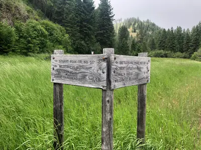
A wooden trail signpost stands in a grassy field with forested hills in the background.Rattlesnake Horse Trail #517A (Stuart Peak)Missoula · From fs.usda.gov, checked Sep 30Trailhead, Trail––
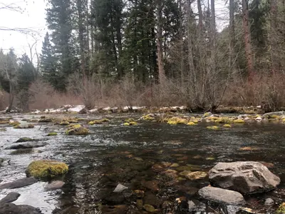
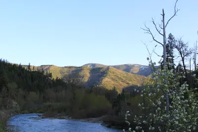
A river flows through a forest scene with mossy rocks and a small amount of snow on the bank.Rattlesnake Main Trail #515Missoula · From fs.usda.gov, checked Sep 28TrailRestroom–
Image of the Nordic Ski Trails at the Rattlesnake National Recreation Area.Rattlesnake National Recreation Area & WildernessMissoula · From fs.usda.gov, checked Sep 30–––
State ed board revokes former Scobey teacher's license after inappropriate commentsSilver's Lagoon (McCormick Park)600 Cregg Lane, Missoula · From ci.missoula.mt.us, checked Sep 29–Playground–

Day trips 26

PlaceTypeHasEntry
Blackfoot-ClearwaterBlackfoot-ClearwaterDay trip · From myfwp.mt.gov, checked Sep 30–––
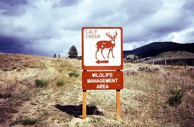
Calf CreekCalf CreekDay trip · From myfwp.mt.gov, checked Sep 30–––
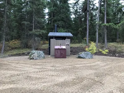
An outdoor vault toilet is situated in a clearing surrounded by a pine forest.Ferry Landing Picnic AreaDay trip · From fs.usda.gov, checked Sep 29River access, Boat rampRestroomFree
Fish CreekFish Creek Wildlife Management AreaDay trip · From myfwp.mt.gov, checked Sep 27––Fee
Full CurlFull CurlDay trip · From myfwp.mt.gov, checked Sep 27–––
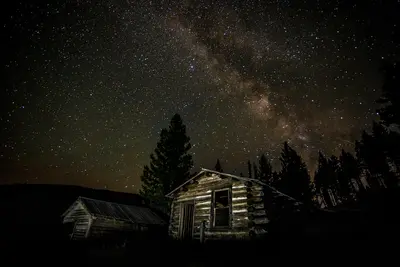
A rustic log cabin sits under a starry night sky with the Milky Way visible.Garnet Ghost TownDay trip · From blm.gov, checked Sep 30–WaterFee
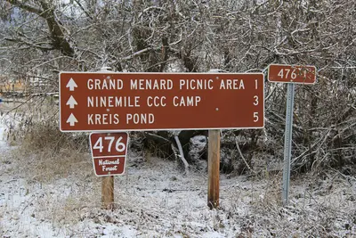
File:Sign for 476 National Forest Road - Grand Menard Picnic Area - Ninemile CCC Camp.jpgGrand Menard Picnic AreaDay trip · 1.1 miles · From fs.usda.gov, checked Sep 29TrailRestroom, Water–
Harpers LakeHarpers Lake Fishing Access SiteDay trip · From myfwp.mt.gov, checked Sep 29River access, Boat rampRestroomFee
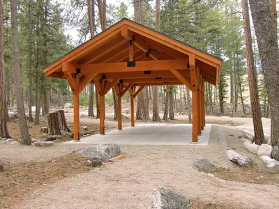
A wooden pavilion structure stands in a forest clearing.Lake Como Group Picnic SiteDay trip · From fs.usda.gov, checked Sep 30–Restroom, Water, Paved pathFee
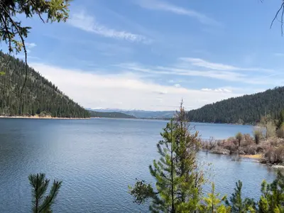
view of lake and treesLake Como Recreation Area — Forest Service place listDay trip · From fs.usda.gov, checked Sep 30–RestroomFee
Izembek National Wildlife RefugeLee Metcalf National Wildlife RefugeDay trip · From fws.gov, checked Sep 30River accessPaved path–
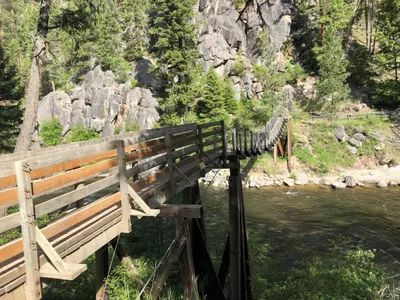
Photo of the Welcome Creek foot bridge in the Rock Creek area, Montana.Lolo National ForestDay trip · From fs.usda.gov, checked Oct 1Campground–Free
Highway 12/Lochsa Corridor landing photoLolo Pass Visitor CenterDay trip · From fs.usda.gov, checked Sep 30–Restroom, WaterFee
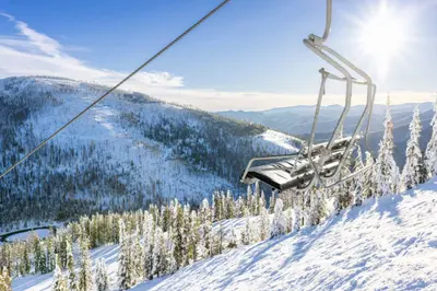
chair liftLookout Pass Ski and Recreation AreaDay trip · From fs.usda.gov, checked Sep 30Ski area–Fee
Maynard Loge Day Use AreaDay trip · From fs.usda.gov, checked Sep 30TrailRestroomFree
WaterMuchwater Camping AreaDay trip · From fs.usda.gov, checked Sep 30CampgroundRestroomFree
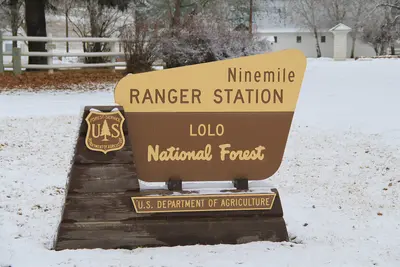
File:Ninemile Ranger Station - Lolo National Forest sign - Huson Montana.jpgNinemile Remount Depot and Historic Ranger StationDay trip · From fs.usda.gov, checked Sep 30–Restroom, Water–
Peninsula Dispersed CampgroundPeninsula Dispersed Campground and Recreation AreaDay trip · From fs.usda.gov, checked Sep 30CampgroundRestroom–
Petty Creek Bighorn Sheep Viewing SiteDay trip · 0.5 miles · From fs.usda.gov, checked Sep 30Trailhead––
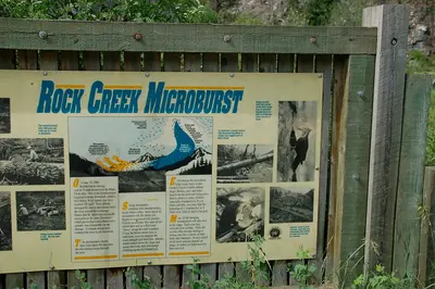
An informational sign explains the concept of a microburst and its impact on the local forest ecosystem.Rock Creek Microburst Viewing SiteDay trip · From fs.usda.gov, checked Sep 30–––
Savenac Historic Tree Nursery ClosedSavenac Historic Tree Nursery AreaDay trip · From fs.usda.gov, checked Sep 30Trail, Garden––
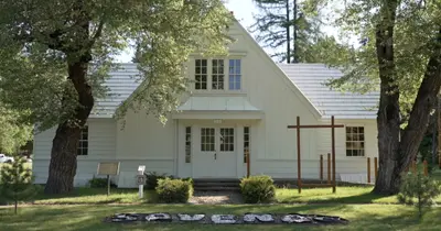
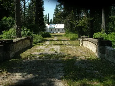
A weathered stone bridge leads toward a white building surrounded by trees.Savenac Historic Tree Nursery Visitor CenterDay trip · From fs.usda.gov, checked Sep 30TrailRestroom, Water–
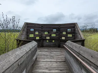
The Wildlife Viewing BlindSeeley Lake Wildlife Viewing BlindDay trip · 0.3 miles · From fs.usda.gov, checked Sep 30Trail––
ThreemileThreemile Wildlife Management AreaDay trip · From myfwp.mt.gov, checked Sep 30Trail, CampgroundRestroomFee
Warm SpringsWarm Springs Wildlife Management AreaDay trip · From myfwp.mt.gov, checked Sep 30–Restroom–
Highway 12/Lochsa Corridor landing photoWhite Sand CampgroundDay trip · From fs.usda.gov, checked Sep 30Campground–Fee