Recreation area · Trail · Trailhead
Mount Dean Stone
This spring, Five Valleys and our partners will break ground on new trails and the next chapter of the Mount Dean Stone Community Forest.
Listed under Hiking trails · Bike trails · Horseback riding trails · Cross-country skiing & snowshoeing · Recreation areas
About this place
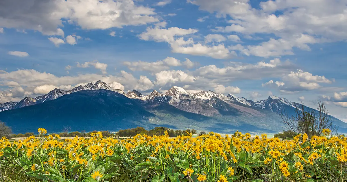
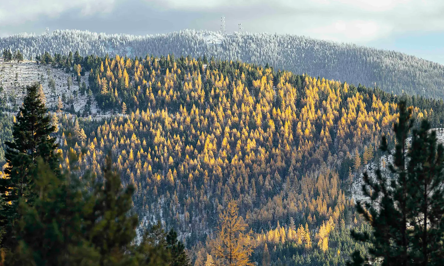
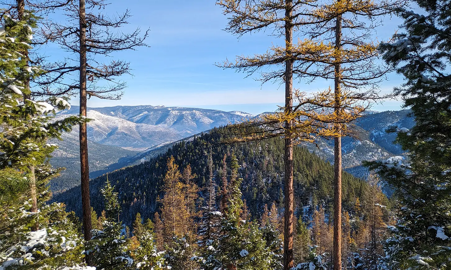
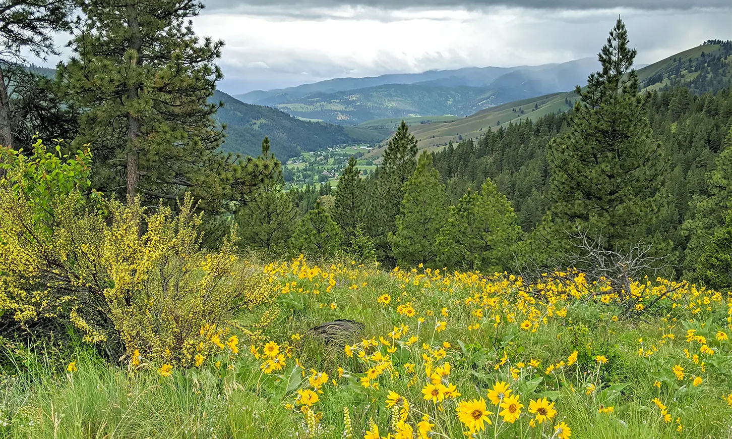
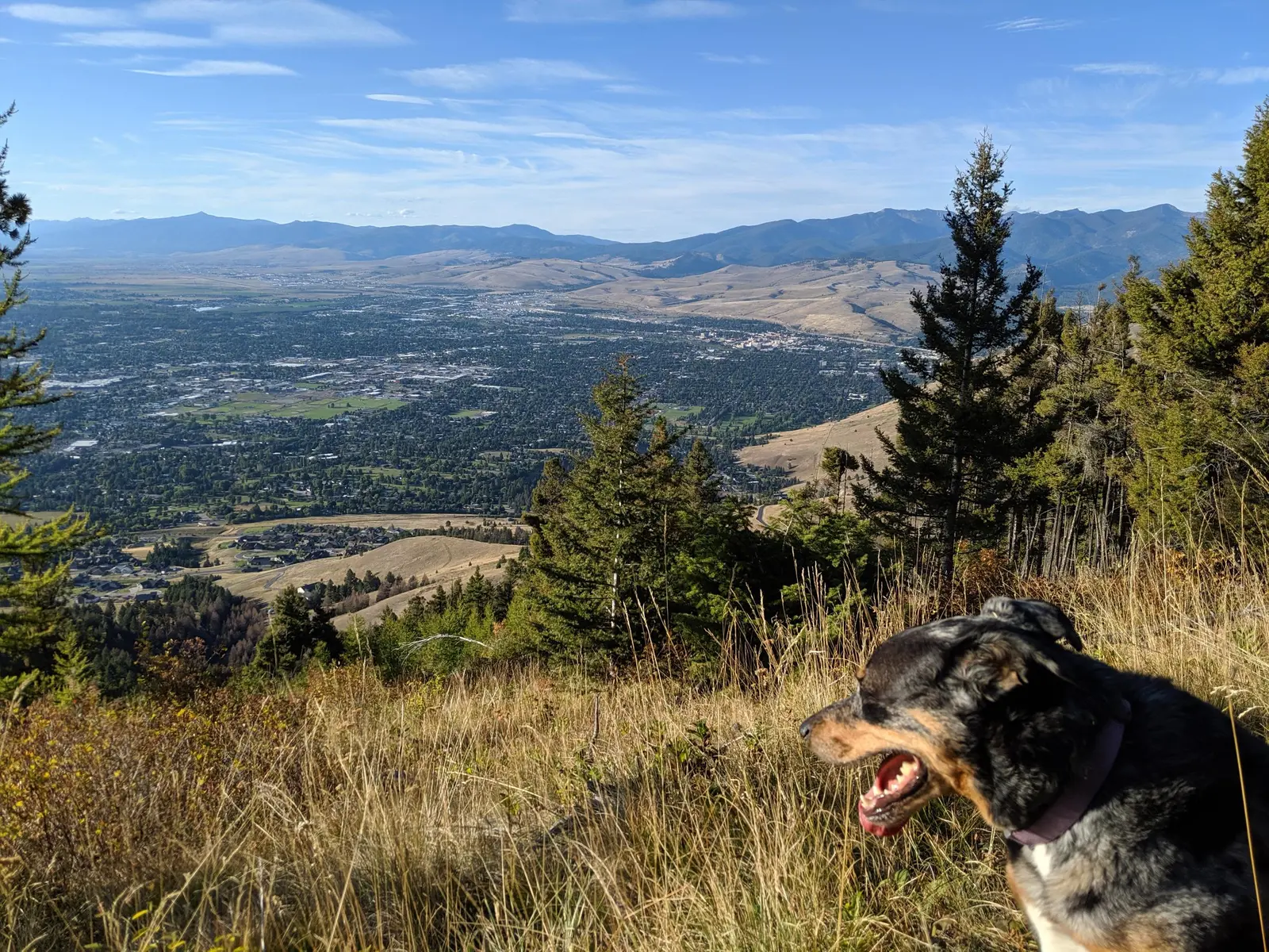
In June 2021, the 5-mile Mount Dean Stone Preserve Trail opened to the public. The trail extends the Barmeyer and Sousa Trails, leading up the mountain and encircling the summit, and connecting to the TNC parcel across the Mount Dean Stone ridge. Learn more about the Mount Dean Stone Preserve.
Practical information
- Town
- Missoula
- Arrival
- The complex can be accessed via five connected trailheads.
- Parking
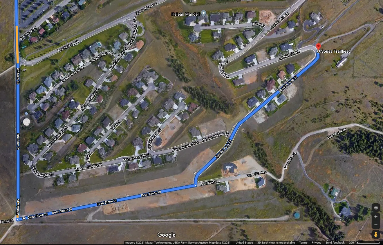
- Barmeyer Trailhead The Barmeyer Trailhead is located on Pattee Canyon Drive. A small gravel parking lot is available on the south side of Pattee Drive. The parking lot only accommodates 12 vehicles and there is no overflow parking.
- Distance
- 16 miles
- Difficulty
- The trail on the upper Preserve was built at an 8% grade, which is less steep than many of the trails around Missoula and is suitable for a broad array of Missoula’s residents.
- Hours
- Upper Mount Dean Stone Community Forest, including the entire House of Sky Trail corridor, closed seasonally from December 1 - May 15.
- Dogs
- A similar dog closure applies on the upper Mount Dean Stone Preserve.
- Use rules
- At trailheads across the Mount Dean Stone Community Forrest, we provide orange vests during hunting season so everyone out there can feel more visible. If you grab one, just return it to the trailhead when you’re done!
- Managed by
- City, Nonprofit
- Phone
- (406) 552-6691
Activities
- Hiking
- Biking
- Hunting
- Snowshoeing
- Horseback riding
Amenities
- Parking
Map
Sources
- from fvlt.org/blog/mdscf-spring-25 updated
- from fvlt.org/blog/a-backyard-backcountry updated
- from engagemissoula.com/mount-dean-stone updated
- from fvlt.org/tags/mount-dean-stone updated
- Public social pagefrom facebook.com/FiveValleysLandTrust updated
- from fvlt.org/projects/mount-dean-stone updated