Recreation area · Trail
Pattee Canyon Recreation Area
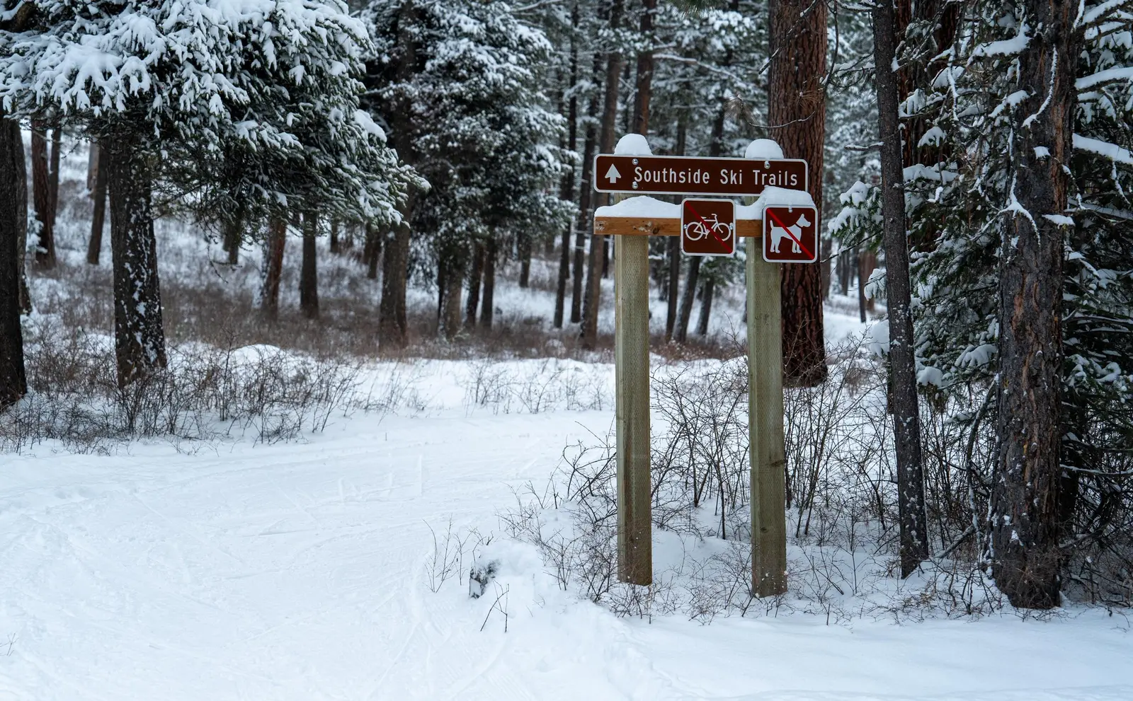
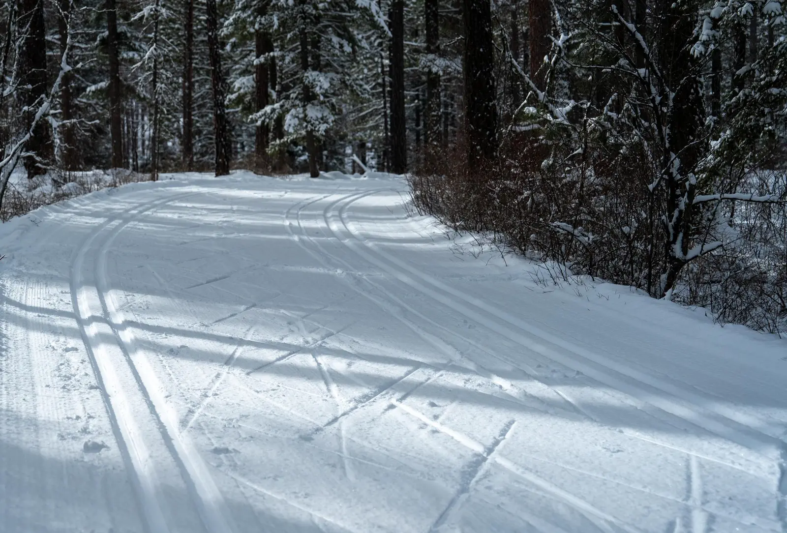
This 3,200-acre recreation area on the east side of Missoula is a popular getaway for locals and visitors. The extensive, 27 miles of system trails is open year-round to non-motorized use and available to hikers, disc golfers, mountain bikers, joggers, cross-country skiers and dog walkers.
Listed under Picnic spots · Disc golf · Hiking trails · Bike trails · Cross-country skiing & snowshoeing · Wildlife & bird watching · Recreation areas
About this place
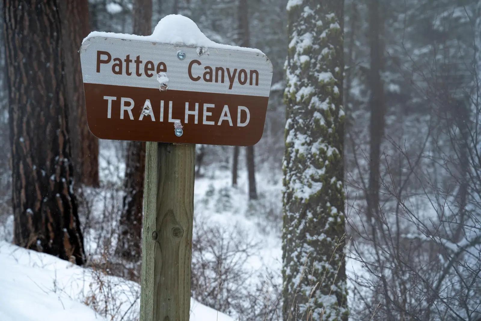
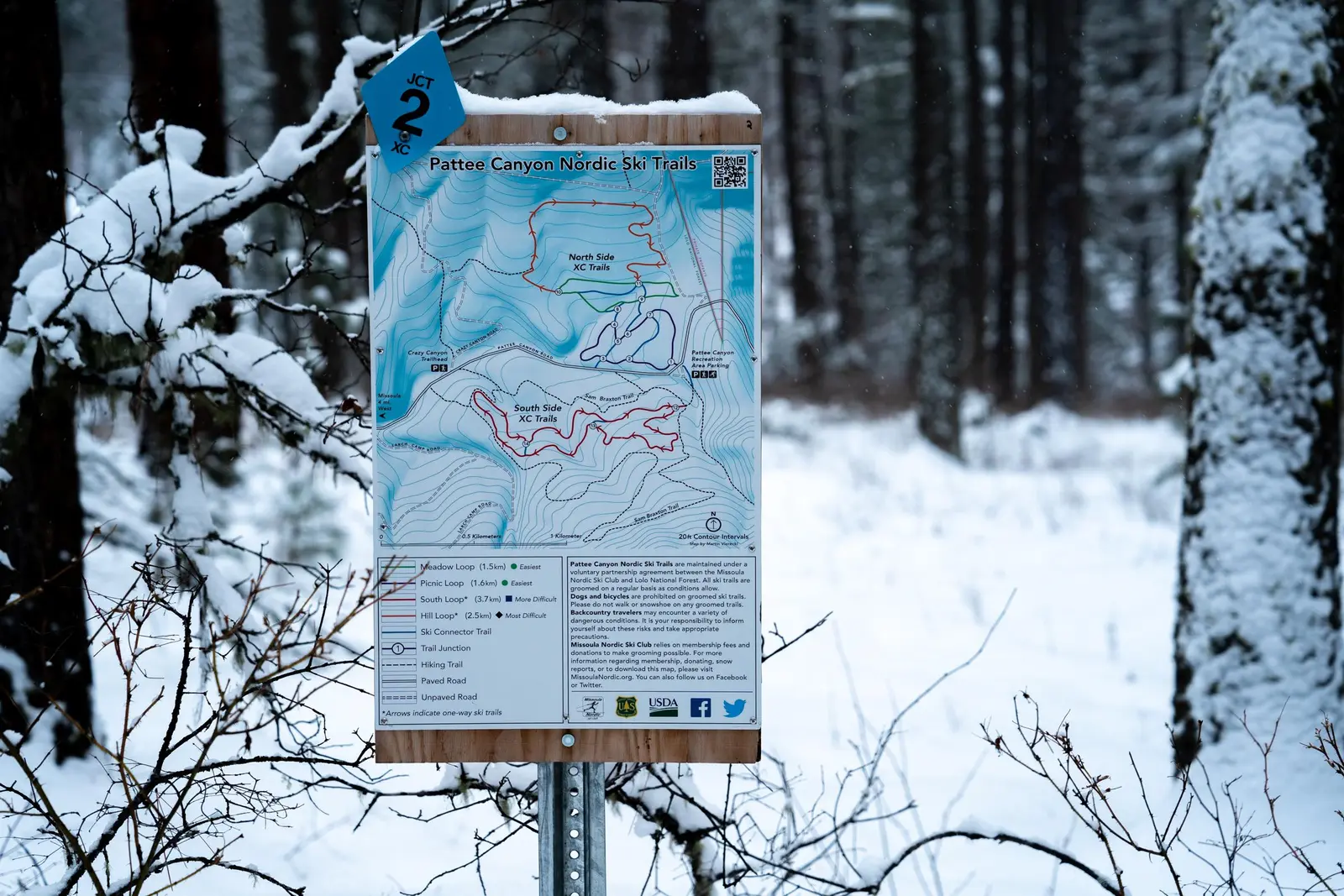
These recreation area trails and roads connect the University of Montana and the Clark Fork River areas. Trail access points available at the picnic area, main trailhead, Crazy Canyon Trailhead and the Larch Camp Road.
Practical information
- Town
- Missoula
- Arrival
- From Interstate 90 in Missoula, take the Orange Street exit #104 and travel south. Turn left onto West Front Street and go 0.2 miles to South Higgins Avenue, then turn right. Continue on South Higgins Avenue for about 2.7 miles to Pattee Canyon Road, then turn left. On Pattee Canyon Road, travel 4 miles heading (east) up the canyon. Look for the Pattee Canyon Picnic Area sign and entrance.
- Parking
- Parking is available at the Pattee Canyon Main Trailhead, Crazy Canyon Trailhead, Pattee Canyon Group Picnic Area.
- Hours
- Area closed 9 p.m. to 6 a.m.
- Dogs
- Dogs must be kept on a leach less than 6 feet.
- Use rules
- The area is generally open year-round. However, from Nov. 1 to June 14, access to the Pattee Canyon Group Picnic Area and Pattee Canyon Disc Golf Course is limited to walk-in only.
- Managed by
- Federal agency
- Phone
- 406-329-3814
Activities
- Mountain biking
- Hiking
- Disc golf
- Picnicking
- Wildlife viewing
- Cross-country skiing
- Snowshoeing
Amenities
- Parking